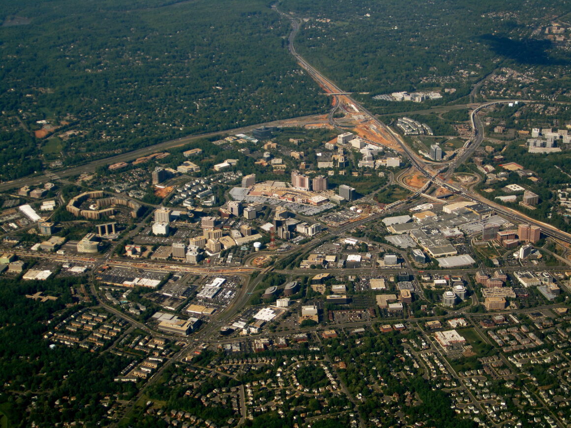
(Header Image: Aerial Shot of Tysons Corner, Virginia, 2010. Source: Wikimedia Commons. Original Image Link here. No changes were made to this image from its original state.) Up until the 1960s, the intersection of Route 123 and Route 7 in northern Fairfax County, Virginia, located roughly ten miles northwest of the heart of Washington, was a […]
